
Hofdi (Höfði)

On the west shore of Lake Myvatn, Hofdi is a recreational forested area sited on a scenic peninsula jutting into the lake. There's a small car park by the entrance gate a...
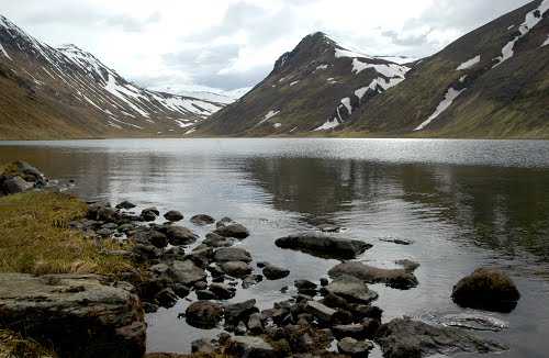
Lake Hraunvatn
Duration: 45 minutes, each way. Difficulty: steady ascent and descent of around 200m. Interest: glaciated mountains and a beautiful lake. Start/End: from road 1, about 35km from Ak...

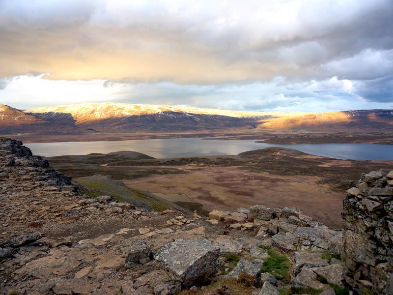
Vindbelgjarfjall ascent
If you have time we also recommend this walk which can be especially dramatic in the evening as the sun goes down. Duration: 1 hour each way. Difficulty: steep ascent and descent o...
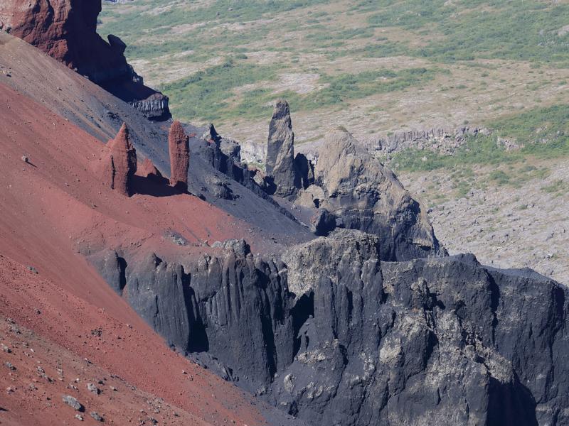
Hljodaklettar (Hljóðaklettar) Hike
Useful Information: pick up a map at the warden’s office in Asbyrgi or Vesturdalur. Bring food and drink with you. Duration: 2-2.5 hours. Difficulty: fairly challenging circu...
Borgarvirki viewpoint
Meaning ‘fortress’ this is a columnar basalt formation standing 10-16m above the surrounding land. Inside is a depression with the remains of some stone huts, while stone walls lin...
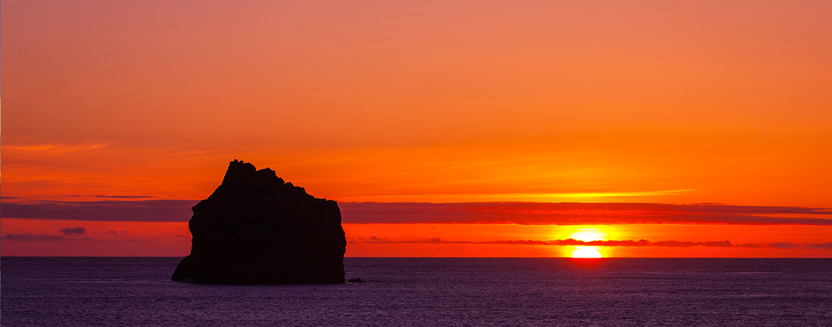
Hvitserkur (Hvítserkur) rock
It is often said that this much photographed 15 m high rock stack is what puts Vatnsnes on the map. The offshore rock, which resembles a prehistoric animal, cannot be seen from the...
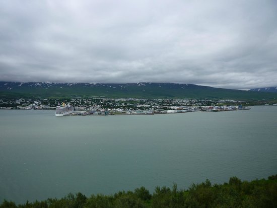
Akureyri Panoramic Viewpoint
Above the east shore of Eyjafjordur, opposite Akureyri, drivers taking road 1 can stop at a lay-by to enjoy a panoramic view of the town across the fjord. From here you can appr...
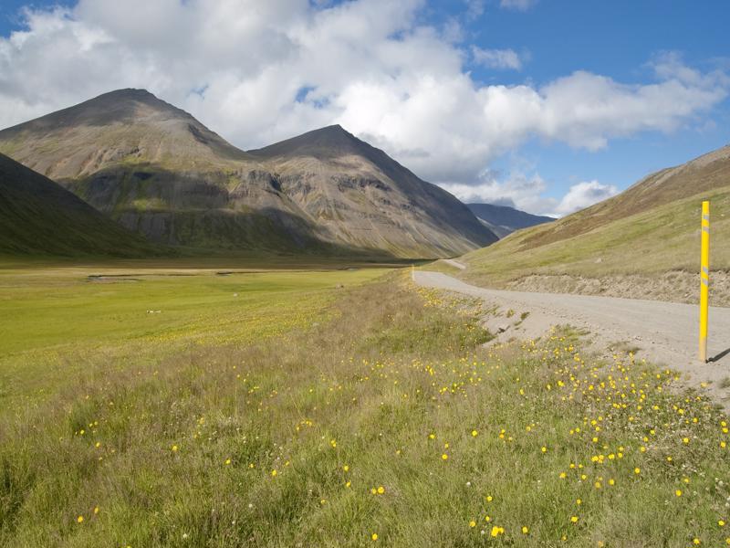
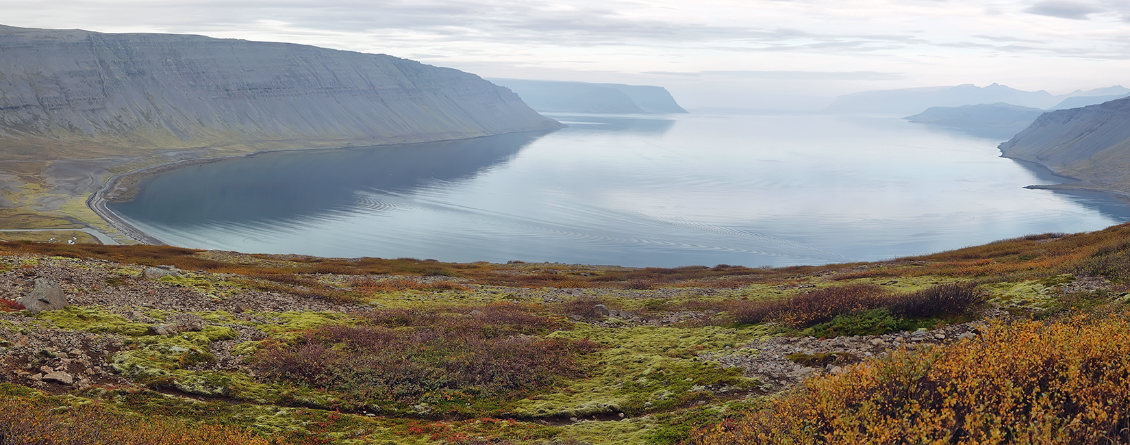
Trollaskagi (Tröllaskagi) peninsula
Trollaskagi (Troll Peninsula) sits between Skagafjordur and Eyjafjordur, its snow-capped mountains rising to 1538m above sea level. Dissected by deep valleys, the peninsula wa...
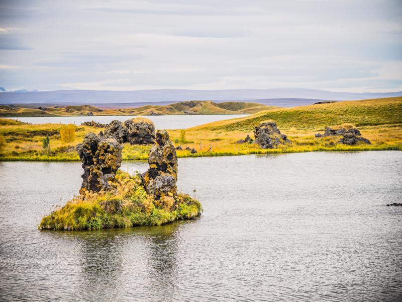
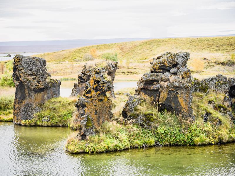
Hofði (Höfdi) nature reserve
This small nature reserve was originally a private garden. Visitors are welcome to walk through its woodland, a mix of native and introduced tree species. Paths lead to severa...
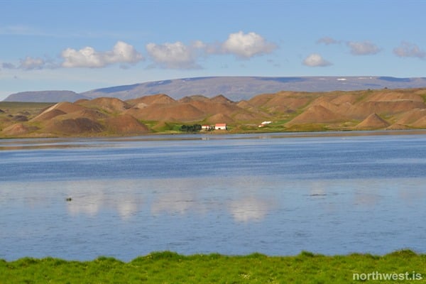
Vatnsdalsholar (Vatnsdalshólar)
Vatnsdalsholar is a cluster of dune-like hillocks, spread over a five square kilometer area at the foot of Vatnsdalsfjall, the prominent mountain to the east. It is believed tha...